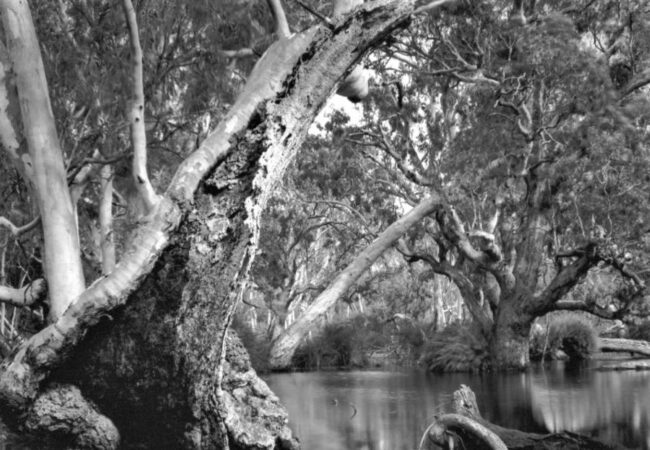
Stumbling upon William’s treasure. Salt print. This image has…
Folio: Mark Darragh
Coastal Topographies—The Otway and Bunurong Coastlines
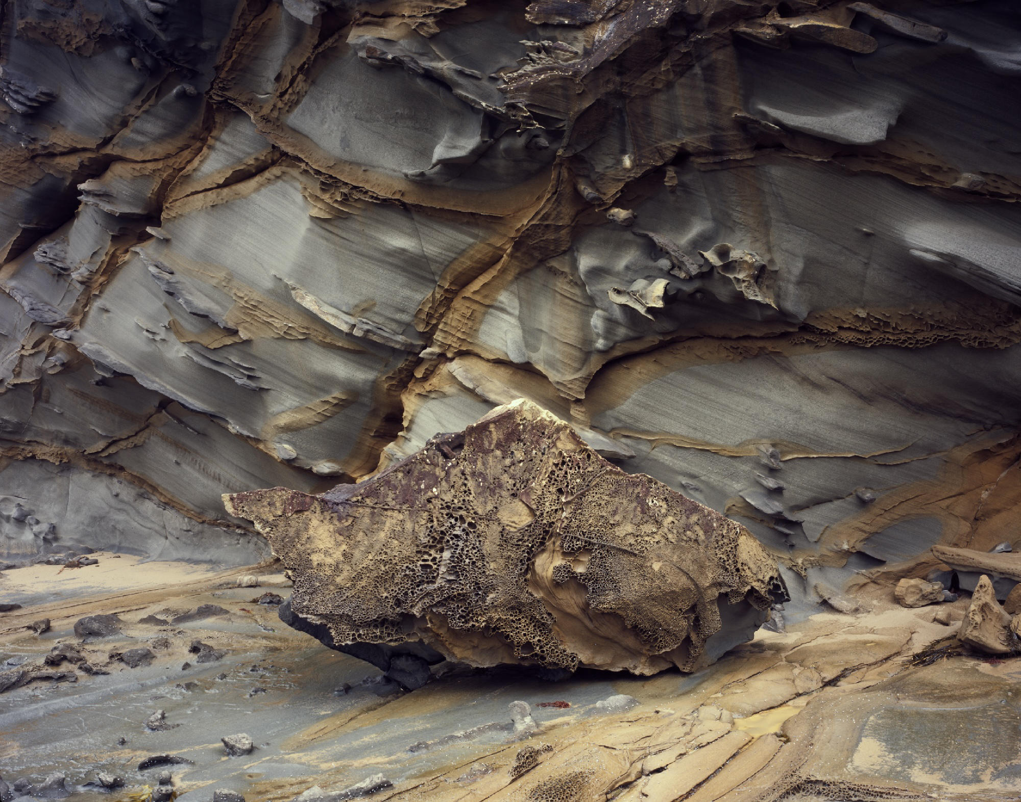
Coastal Topographies is an ongoing series of photographs focusing on shorelines and intertidal zones across Victoria and Tasmania. Much of this body of work has fallen into three areas: South Gippsland and the Otway Coastlines, the north-west of Tasmania, and the granite coastlines linking Gippsland in Victoria and the east coast of Tasmania.
In this folio I’ve concentrated on the areas that provided the early inspiration for this project, the Otway Basin and Bunurong coast in South Gippsland.
The early photographs date back to a series of trips undertaken in 2006 and 2007 along the Victorian coast. At the time my goal had been to make a photographic survey from East Gippsland through to the far west of the state, concentrating on wider landscapes and coastal geography. Out of that broader body of work, it was the details and intimate landscapes that really captured my interest, and for the last 10 years or so, I’ve concentrated on making photographs that continue to build on those early close-up photographs.
The Otway and Bunurong coasts share a common geological heritage. Both coastlines consist of sedimentary sand, silt and mudstones, which date back to the Cretaceous period when Australia was part of the supercontinent of Gondwana. They have been an important source of fossils, particularly vertebrates, giving an insight into the ecosystems of this time in Australia’s geological past. Australia’s Gondwana relict flora has been a major part of my photographic interest in the last twenty-five years, so as different as these photographs are, they do complement one another. At the time these sediments were being deposited, Australia’s flora was dominated by Conifers and early flowering plants, such as the ancient genus Nothofagus or Southern Beech.
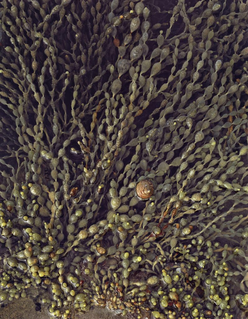
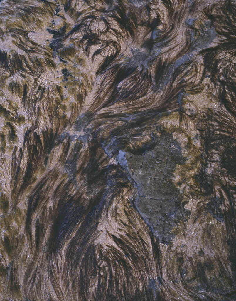
All the photographs were made within the littoral zone. By simplest definition, the edge of land and sea. Within this is the intertidal zone, the area between the highest and lowest tides. Rocky coastline is often one of the few places where the underlying rock strata can easily be seen; in effect, opening a window into the past as well as hinting at what lies below the water offshore. The intertidal zone itself is an area of diverse habitats with unique flora and fauna.
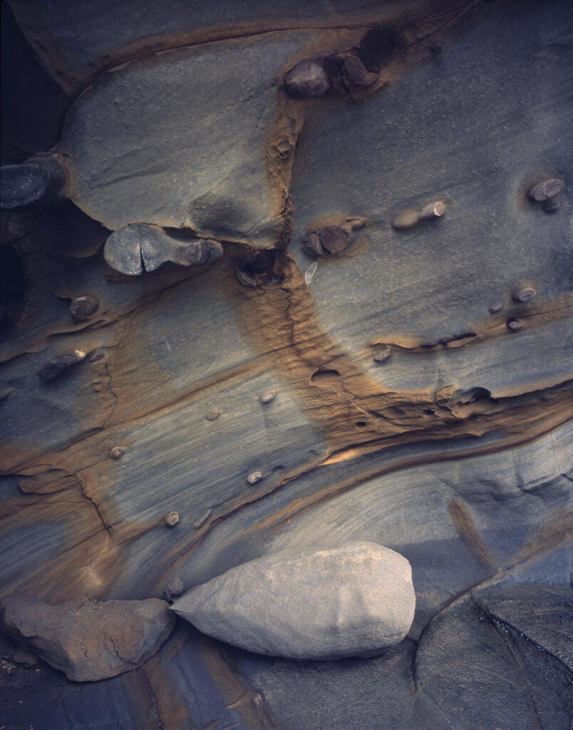
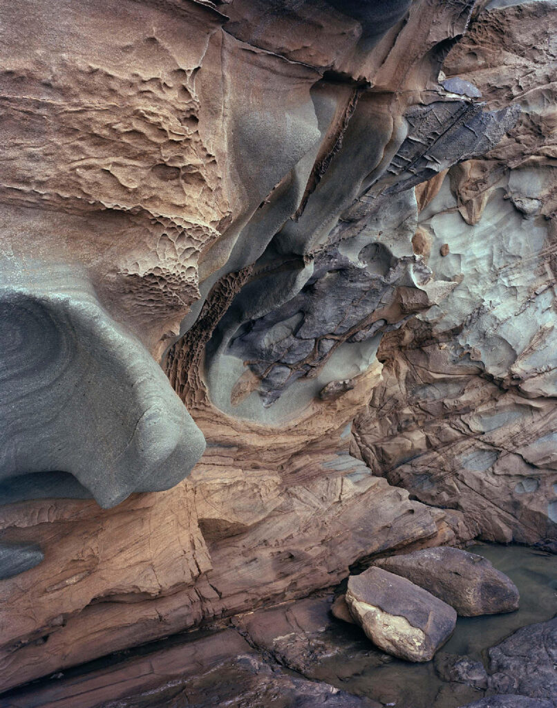
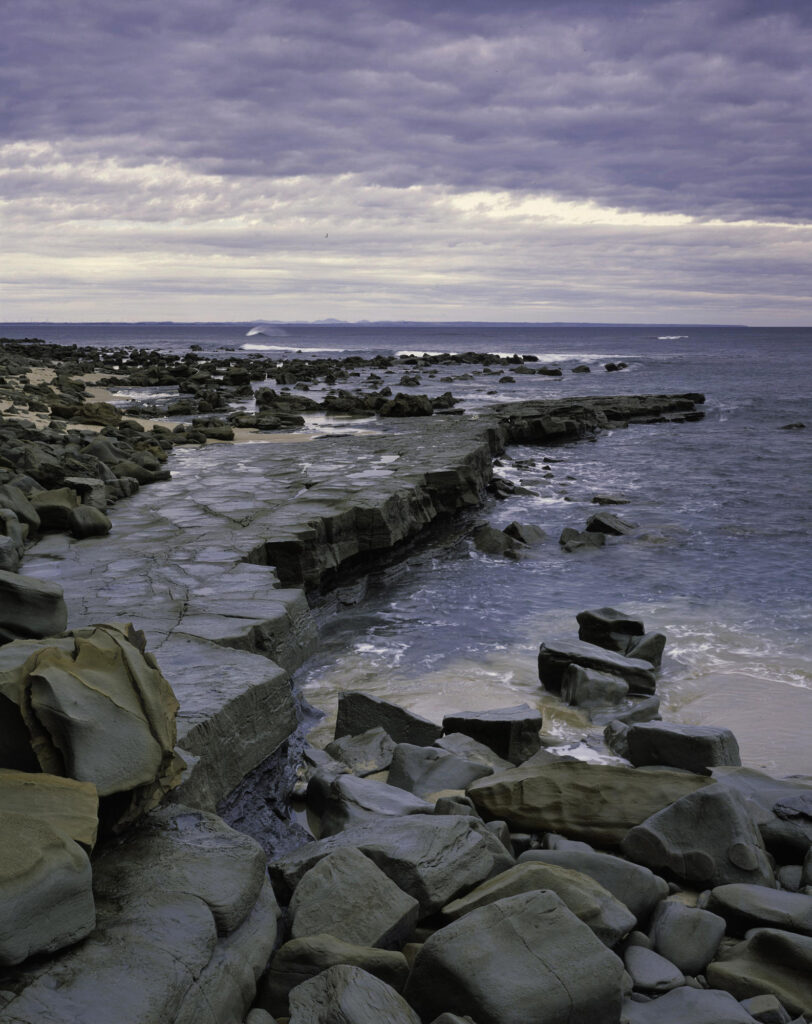
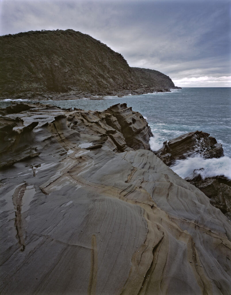
Even though these are rocky coastlines, the sand and mudstones themselves are generally quite soft. Not only has the weathering revealed what is, in effect, a time capsule; the actions of water and wind—exfoliation and abrasion—have created a vast tapestry of form and colour. Jointing, intrusions, and concretions have all added to a rich textural palette to explore. Along with the details in this folio, I’ve included one wider landscape from each location which gives an overview of each area and the broader context within each habitat.
The photographs from the Otway coast have tended to focus more on the coastal cliffs and the shore platforms immediately at their base; the land edge of the intertidal zone, you might say. Along the Bunurong coast, I’ve had a greater opportunity to photograph the intertidal zone. This reflects some of the topographical differences between the two coastlines. As a generalisation, the Bunurong coast has more extensive shore platforms and is somewhat more sheltered; the Otway coast is subject to greater wave action, and the cliff lines often fall more steeply into the sea; therefore, there is a much smaller intertidal zone and more limited scope in which to work. Either way, photographing in these areas, subject to the waves and weather moving in from Bass Strait, has plenty of potential hazards. It’s an environment one needs to treat with great respect and caution, especially when working under a darkcloth.
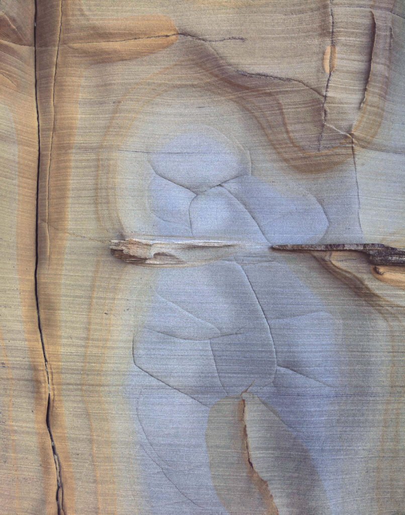
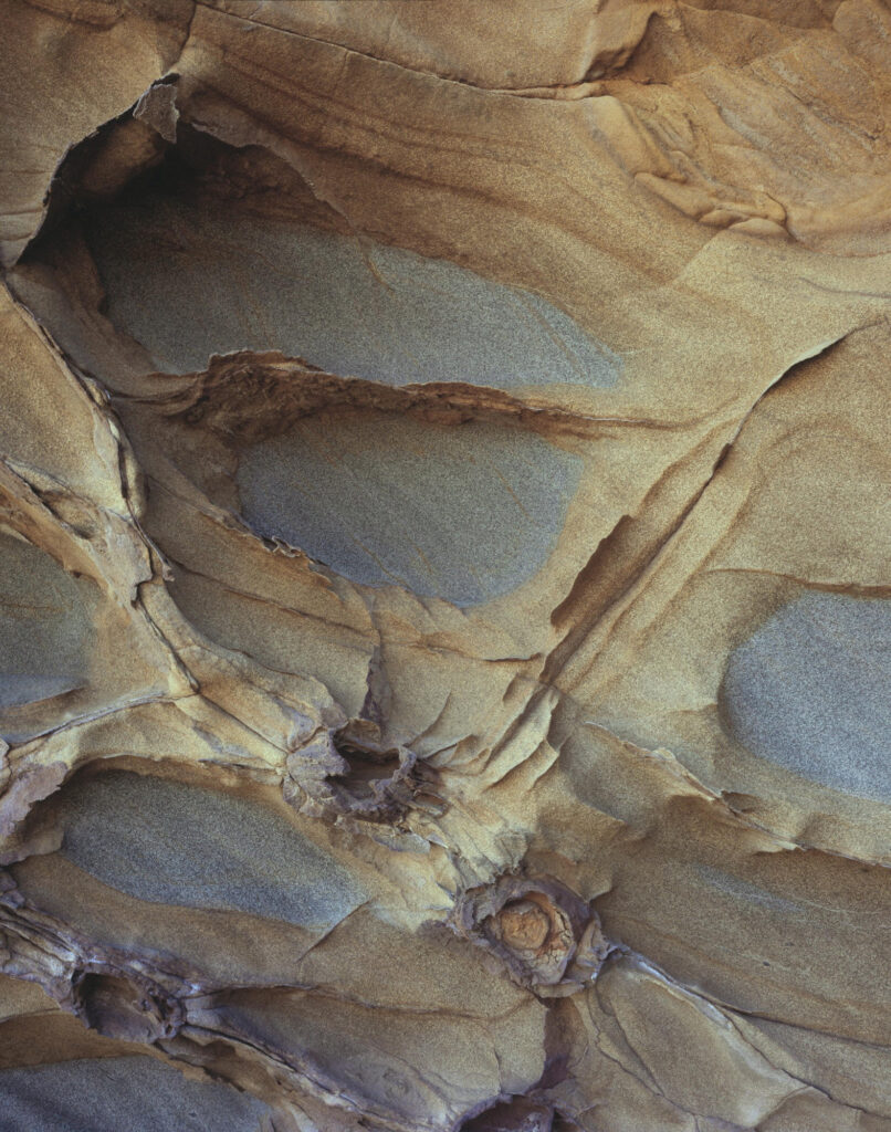
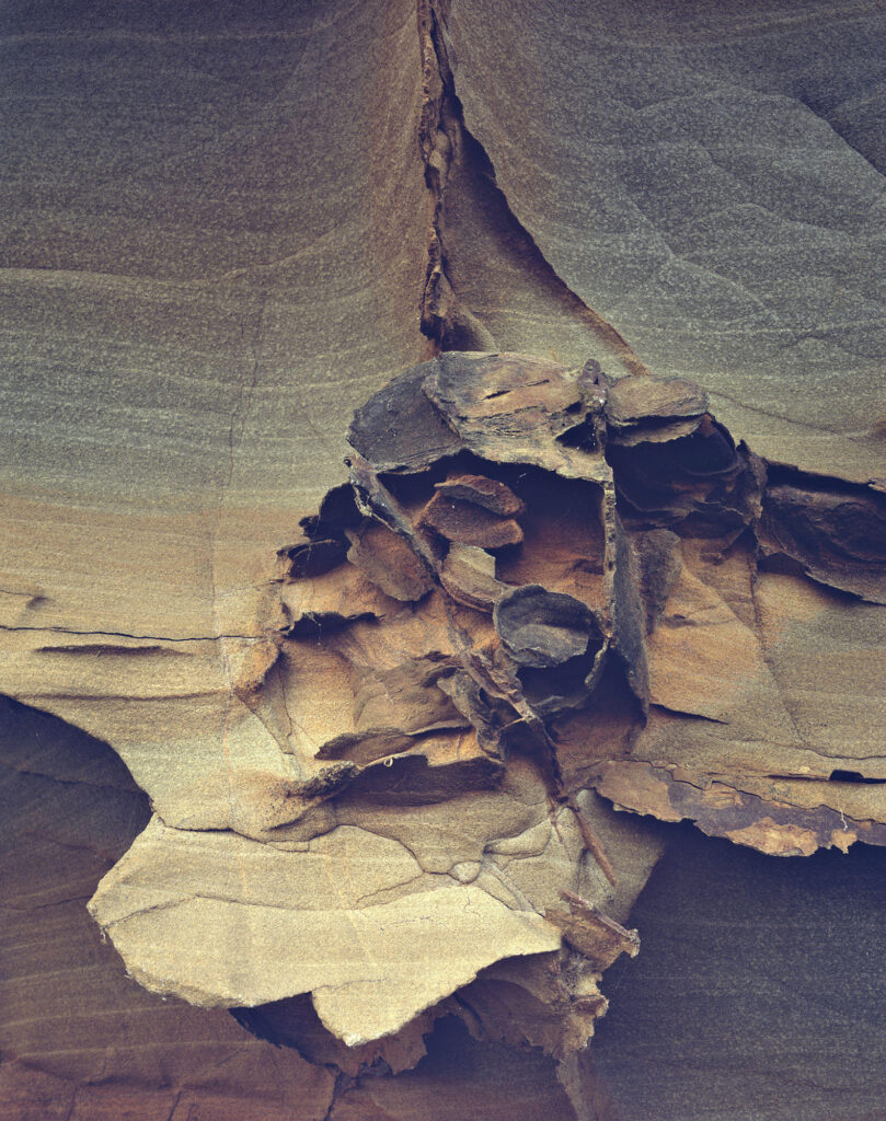
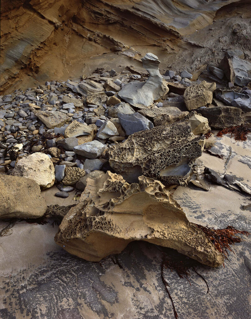
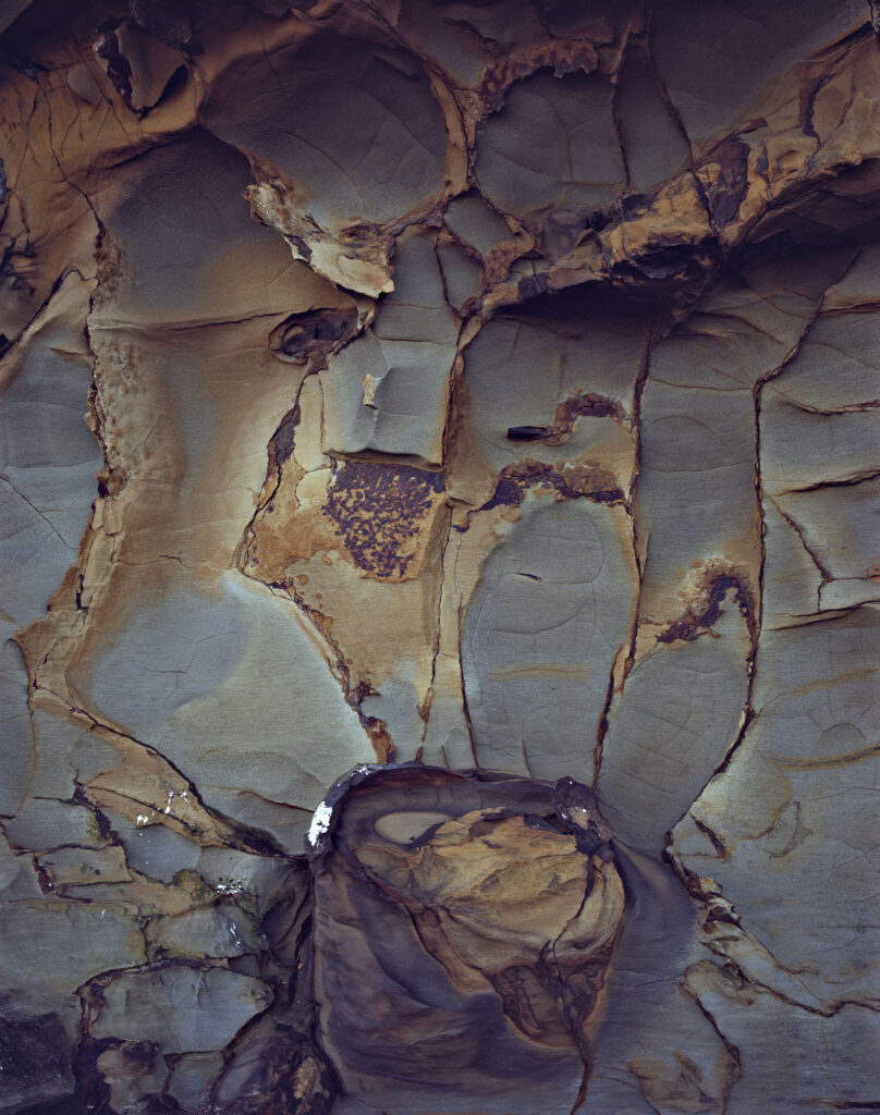
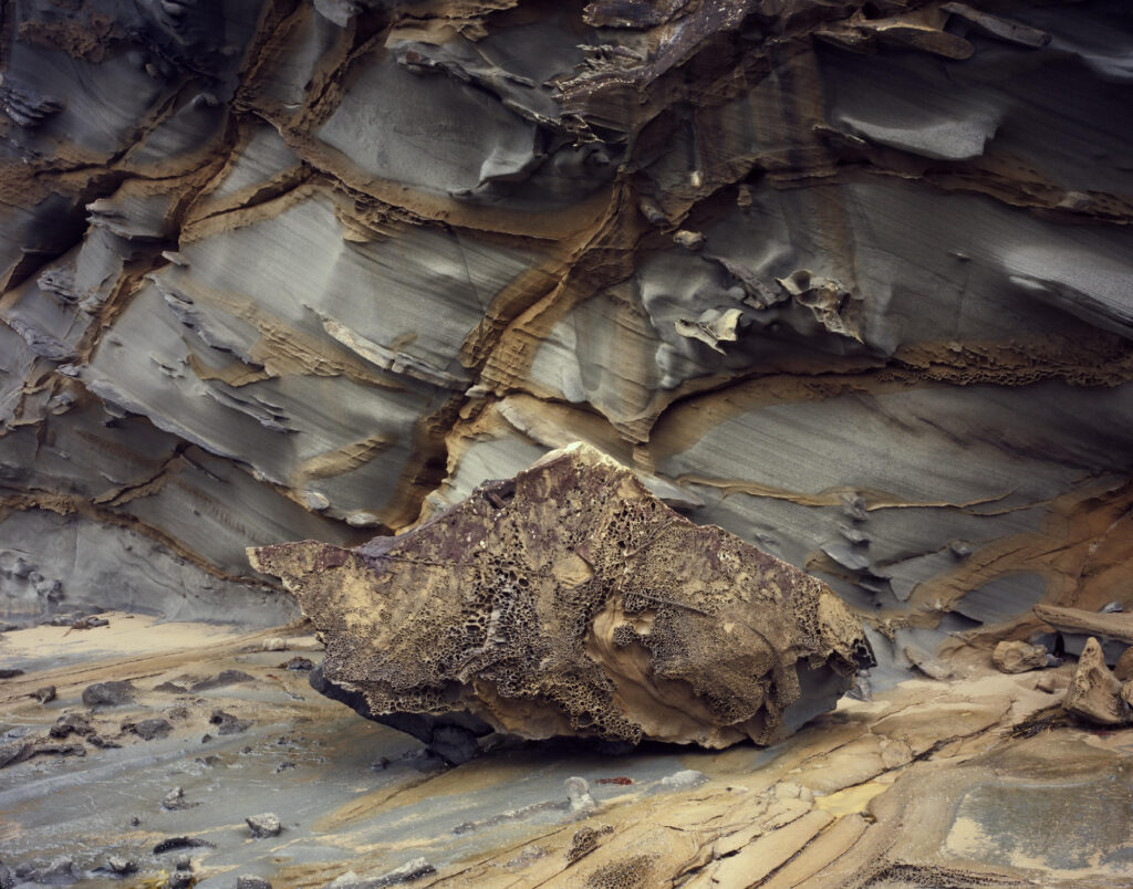
Technical notes: All the photograph were made using 4×5 or 8×10 transparency film. Lens focal lengths span 58mm to 240mm on the 4×5 camera and 240mm or 300mm on the 8×10 camera.