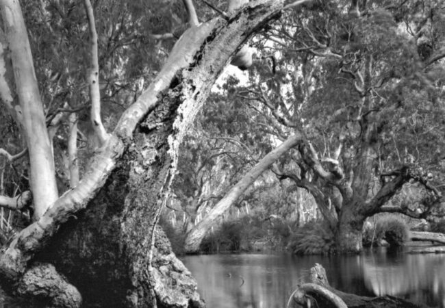
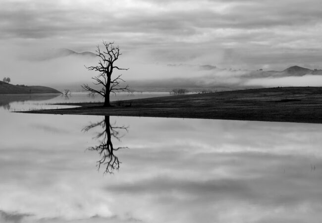
In View Camera Australia's second online exhibition we showcase the…

Bike paths of Melbourne – Zo Damage
Photographer Zo Damage explores Melbourne’s bike paths with a 4×5 camera.
After moving into the city in 2019, I got rid of my car and bought a second-hand bicycle. It was one of the best things I have ever done. At the time, I was working at The Tote Hotel in Collingwood. Knock-off on Fridays and Saturdays was between 3 and 4am. Exhausted, I would look forward to defusing my shift on the quiet ride home. The bike – over and above buses, trams and trains – became my primary mode of transport.
My project, Bike paths of Melbourne, began during the first Covid lockdown in 2020. Living on the city’s edge, I would take my daily exercise, walking and cycling within my five kilometre bubble along Melbourne’s inner-city bike paths, parklands and waterways, cameras in tow. During this time, I also converted much of my two bedroom flat into a darkroom, where I would arrive home and bury myself in the joys and freedom of alchemical process.
Meanwhile, the idea of a series as a photographic survey did not occur to me until two years later, while studying in the Master of Fine Art program at RMIT University. At this time, I was neck-deep in experimenting with Lomography and making pinhole cameras. The frustration I was going through – smacking my head against aluminium baking trays to crack the pinhole code – prompted me to put my university work aside to enjoy a moment immersed in traditional modes of the medium.
In contrast to the past, where I was photographing my everyday surroundings as a proactive way to be creative, engaged and manage my mental health and wellbeing during lockdowns, I became aware of the history and narrative I was documenting my commutes through the lens.
From this point, I approached capturing the richness and diversity of Melbourne’s city and suburban waterways and parklands with the conscious decision to make an ongoing series.
My choice of cameras depended on where I was going, how much I had to carry, and the film I had on hand at any given point. Since I like to travel light, am in a perpetual hurry and clock up to 50km in a ride, I usually pack my Graflex Speed Graphic for the day.
One of my favourite rides is the 40-kilometre round-trip from the city to Thomastown and back that traverses the Upfield Shared Path to Merri Creek Trail in Melbourne’s inner- and outer-northern suburbs – pockets of pristine wetlands juxtaposed by industrial grime occupying the same space.
My most memorable ride to date was going to Tottenham along the Maribyrnong River Trail when I saw a penguin playing in the river. While I did not have a camera on the day, the memory will bring me joy for eternity.
Growing up in North Fitzroy, the Merri Creek and Yarra River were where the local kids would hang out. In the 1970s, there was little access to these areas, and they were commonly littered with rubbish, from general crap to old, unwanted and broken household items such as white goods, tables, chairs and bikes.
Over 45 years later, it was not until I began working on my Bike paths of Melbourne series in earnest that I was prompted to reflect on the time spent on the Merri and Yarra in my youth and how much it has changed.
Today, the bike paths of Melbourne have become a central gathering place with new tracks, rejuvenated wetlands and parks, playgrounds and the subsequent return of native fauna.
Although I do not consider myself an environmentalist or political, the series has caused me to contemplate urban development and conservation in a new light, including the community groups and councils working to restore and preserve these critical habitats.
The dedication of community-based groups such as Friends of Merri Creek is admirable in their active role “in helping rehabilitate” areas such as “the Creek from a weed-infested drain to bushland haven” (“Welcome to Friends of Merri Creek” n.d.). Of equal significance are not-for-profit organisations such as Merri Creek Ecological Restoration Program, which strive to undertake “ecological restoration and revegetation works at multiple sites along Merri Creek and its tributaries” (Merri Creek Management Committee 2021).
While the city and suburbs continue to sprawl outward, it has been a wonderful experience to revisit my childhood and discover the incredible diversity and restored beauty of Melbourne’s inner-city waterways and parklands, and I look forward to continuing this adventure for many years to come.
Main photograph above: Maribyrnong path.


Next Post: Exhibition: Androids – Wanda Tuerlinckx
Previous Post: The Inland Sea – Murray White


Love the idea of bike + 5×4 camera Zo. I’ve always thought that a photographic study of Merri Creek would make for a great project. I hope the MFA at RMIT turned out ok.
Thanks for posting Gary. It is indeed a wonderful project (even if it did start unintentionally). I’m in the throws of tying a bow on my master’s right now. Ahh! Post-graduate study is a wild ride!
🙂